5 Geospatial Imaging Tips
Introduction to Geospatial Imaging
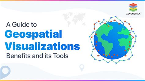
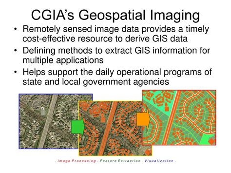
Geospatial imaging is a technology that has revolutionized the way we understand and interact with our environment. It involves the use of satellite or aerial imagery to gather information about the Earth’s surface. This technology has numerous applications in fields such as urban planning, agriculture, disaster response, and environmental monitoring. With the increasing availability of high-resolution imagery, the potential for geospatial imaging to drive decision-making and problem-solving has never been greater. In this blog post, we will explore five tips for getting the most out of geospatial imaging.
Tip 1: Choose the Right Imagery
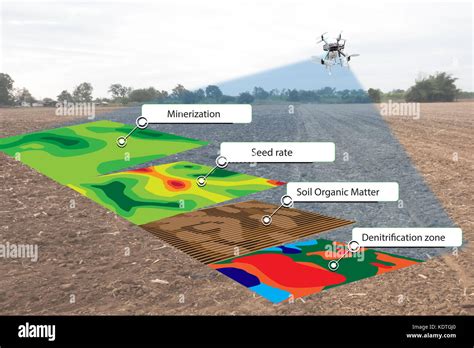
The first step in any geospatial imaging project is to choose the right imagery. This involves considering factors such as resolution, spectral bands, and temporal frequency. High-resolution imagery is essential for applications such as change detection and object-based image analysis. Spectral bands, on the other hand, determine the type of information that can be extracted from the imagery. For example, multispectral imagery can be used to identify different types of vegetation, while hyperspectral imagery can be used to detect subtle changes in soil chemistry. Temporal frequency refers to the frequency at which images are acquired, and is critical for applications such as crop monitoring and disaster response.
Tip 2: Use the Right Software
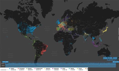
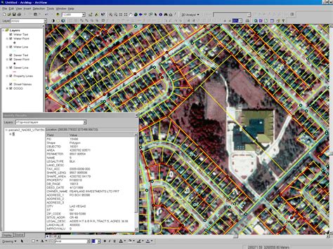
Once you have chosen the right imagery, the next step is to use the right software to analyze and interpret the data. There are many software options available, each with its own strengths and weaknesses. Some popular options include ArcGIS, QGIS, and ENVI. When choosing a software, consider factors such as user interface, processing speed, and analytical capabilities. For example, ArcGIS is known for its user-friendly interface and advanced analytical capabilities, while QGIS is a free and open-source alternative that offers many of the same features.
Tip 3: Apply Image Correction Techniques
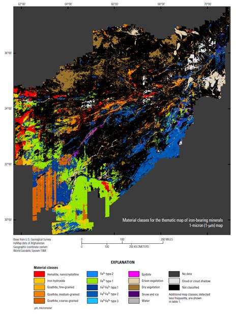
Raw imagery often requires correction before it can be used for analysis. This involves applying techniques such as atmospheric correction, geometric correction, and radiometric correction. Atmospheric correction involves removing the effects of the atmosphere on the imagery, such as atmospheric scattering and absorption. Geometric correction involves correcting for distortions in the imagery, such as sensor distortions and platform distortions. Radiometric correction involves correcting for variations in the brightness and color of the imagery, such as sensor calibration and illumination effects.
Tip 4: Use Machine Learning Algorithms
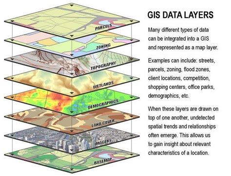
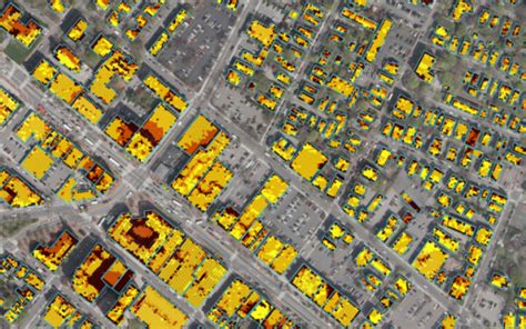
Machine learning algorithms can be used to automate the analysis of geospatial imagery, and to extract insights that would be difficult or impossible to obtain through manual analysis. Some popular machine learning algorithms for geospatial imaging include support vector machines, random forests, and convolutional neural networks. These algorithms can be used for applications such as land cover classification, object detection, and change detection. For example, convolutional neural networks can be used to detect objects such as buildings, roads, and vegetation, while random forests can be used to classify land cover into categories such as forest, grassland, and urban.
Tip 5: Integrate with Other Data Sources
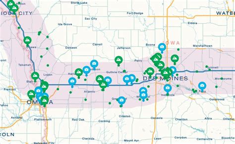
Finally, it is often useful to integrate geospatial imagery with other data sources, such as field observations, sensor data, and social media data. This can provide a more complete understanding of the environment, and can help to validate the results of the imagery analysis. For example, field observations can be used to validate the accuracy of land cover classifications, while sensor data can be used to provide additional information about the environment, such as temperature, humidity, and air quality.
| Imagery Type | Resolution | Spectral Bands | Temporal Frequency |
|---|---|---|---|
| Multispectral | 1-5 meters | 3-5 bands | Weekly-Monthly |
| Hyperspectral | 1-10 meters | 100-200 bands | Monthly-Quarterly |
| High-Resolution | 0.1-1 meter | 3-5 bands | Weekly-Monthly |
📝 Note: The choice of imagery type, resolution, spectral bands, and temporal frequency will depend on the specific application and requirements of the project.
In summary, geospatial imaging is a powerful technology that can be used to gather information about the Earth’s surface. By choosing the right imagery, using the right software, applying image correction techniques, using machine learning algorithms, and integrating with other data sources, you can unlock the full potential of geospatial imaging and gain valuable insights into the environment. Whether you are working in urban planning, agriculture, disaster response, or environmental monitoring, geospatial imaging can help you to make better decisions and to solve complex problems.
What is geospatial imaging?
+
Geospatial imaging is a technology that uses satellite or aerial imagery to gather information about the Earth’s surface.
What are the applications of geospatial imaging?
+
Geospatial imaging has numerous applications in fields such as urban planning, agriculture, disaster response, and environmental monitoring.
How do I choose the right imagery for my project?
+
The choice of imagery will depend on factors such as resolution, spectral bands, and temporal frequency, as well as the specific requirements of the project.


